Flooding & Inundation

We model and analyze all types of inundation disasters of river, tsunami, storm surge, and reservoir embankment failure caused by torrential downpours, earthquakes, typhoons, etc., in order to understand the phenomena of inundation disasters and to study disaster prevention measures.
Category
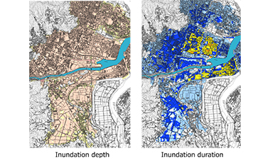
Inundation analysis
  • Inundation analysis (river inundation)
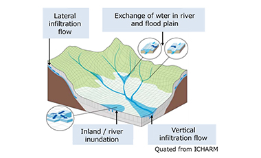
  • Inundation analysis (integrated model of river channel and flood plain)
  • Inundation analysis (inundation by small reservoir and dam reservoir embankment failure)
  • Inundation analysis (various types of inundation)
  • River inundation estimation, small-scaled river inundation estimation
  • Inundation analysis considering rainfall and drainage facilities
  • Inundation analysis including steep slope sections
  • Inundation analysis using unstructured grids
  • Inland inundation analysis
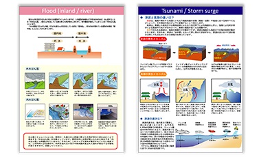
Hazard map creation
  • Hazard map creation (disaster education type)
  • Hazard map creation (by disaster type)
Runoff and inundation analysis using RRI model
  • Runoff and inundation analysis using RRI model
Integrated model of river and sewer inundation analysis
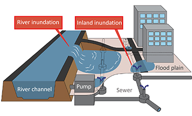
  • Integrated model of river and sewer inundation analysis
Our Projects
Inundation simulation
  • Urban inundation simulation of small and medium-sized rivers
  • Tsunami inundation simulation
  • Inundation simulation due to reservoir embankment failure
Hazard map creation
  • Flood hazard map creation in city, town, or village
  • Tsunami hazard map creation in city, town, or village
  • Creation of inundation animation CG
Disaster prevention
  • Creation of awareness software for tsunami disaster prevention
  • Establishment of the notification, warning, dangerous water level in rivers
Others
  • Arrangement of evacuation information by GIS
  • Calculation of damaged amount and B/C due to river inundation
  • Study of the investment effects of tsunami disaster prevention facilities

Others